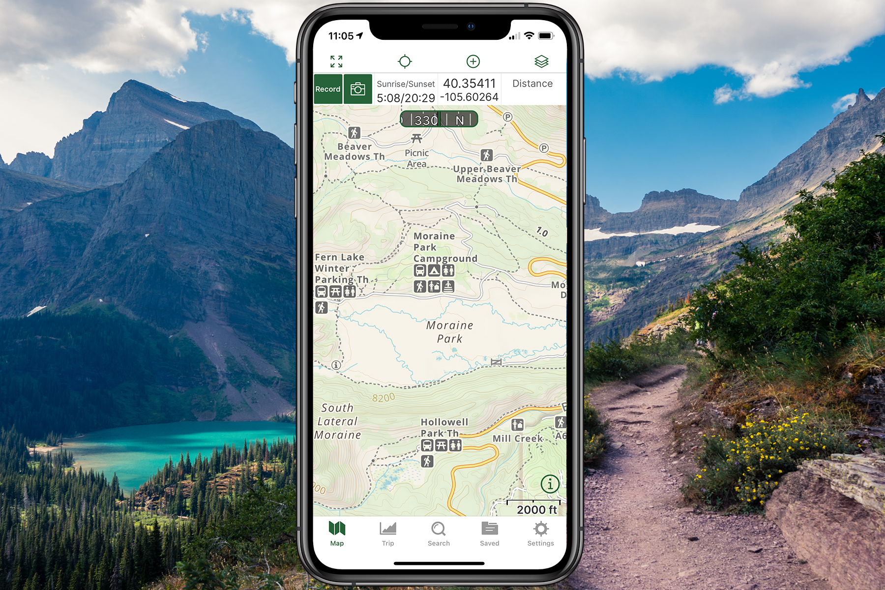
Navigating the great outdoors has become more accessible and enjoyable thanks to advanced GPS applications like Gaia GPS. Particularly for iOS users, Gaia GPS stands as a robust choice for hikers, bikers, and adventurers. This guide will walk you through the nuanced steps of importing GPX and KML files into your Gaia GPS app (iOS), ensuring you're...
Exploring the Trails with onX Offroad: A Comprehensive App for Off-Road Adventure

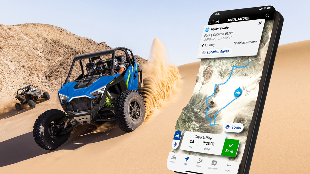
The onX Offroad app, a specialized tool for off-roading enthusiasts, offers a comprehensive and user-friendly experience for discovering and navigating trails suitable for various types of off-road vehicles such as 4x4s, UTVs, dirt bikes, and snowmobiles. It boasts a substantial database of trails, providing over 400,000 miles of motorized routes across all 50 states, Mexico, and Baja. This app stands out for its robust features that cater to the specific needs of off-roaders and overlanders.
One of the key attributes of the onX Offroad app is its ability to offer real-time and detailed trail information. This includes government information for public lands, points of interest, difficulty ratings, vehicle restrictions, and historical data about areas. The app classifies trails into two main categories: general trails, which provide basic information such as vehicle requirements, open/closed status, trail composition, and any necessary permits; and featured trails, which offer more detailed information including difficulty ratings, estimated travel times, highpoint elevation, and photographs.
The app also shines in its usability and functionality. Users can choose between satellite, topographic, or hybrid map views. As they zoom into an area, the app highlights trails, distinguishing open trails in green and closed ones in red, with a special blue border for featured trails. Moreover, users can filter their view to display trails accessible by specific types of vehicles, such as dirt bikes, ATVs, high-clearance vehicles, or full-width roads suitable for trucks.
For navigation and trip planning, onX Offroad allows users to track their progress, logging speed, distance, route, and time. Users can add waypoints for a variety of features they encounter, such as campgrounds, gas stations, or scenic points. This data can be saved for future reference or shared with friends. However, sharing waypoints requires cell service, which can be a limitation in remote areas.
Overall, onX Offroad offers a valuable tool for off-road adventurers, combining detailed mapping and trail information with practical features for trip planning and navigation. While it has some limitations, its extensive trail database, ease of use, and detailed information make it a strong contender in the off-road mapping app market.
Introduction to Gaia GPS and GPS Data Import
Navigating the great outdoors has become more accessible and enjoyable thanks to advanced GPS applications like Gaia GPS. Particularly for Android users, Gaia GPS stands as a robust choice for hikers, bikers, and adventurers. This guide will walk you through the nuanced steps of importing GPX and KML files into your Gaia GPS app (Android), ensuring...
Enhancing Your Off-Road Adventures with onX Offroad
Are you an offroad enthusiast looking to navigate the backcountry with ease? Importing markups into your onX Offroad Web Map is an essential skill. This detailed guide will walk you through the steps of importing waypoints, routes, lines, shapes, and tracks to enhance your offroad adventures.


